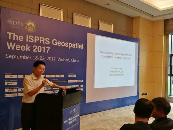
Dr. Jinghui
Yang is invited to make a keynote presentation in a conference
Sept. 21, 2017,
the founder of VisionOnSky Co., Ltd, Dr. Jinghui Yang was invited to make a keynote presentation
titled as “Pansharpening: Model, Algorithm and
Computation from Our Perspective” in the IWIDF 2017 workshop, part of ISPRS
Geospatial Week 2017, which is held in Wuhan.
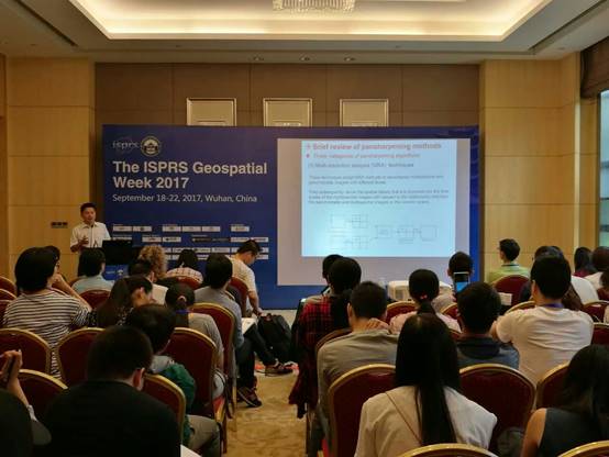
In this
presentation, Dr. Jinghui Yang has given some
insights and innovative work about model, algorithm and computation of pansharpening from their perspective. Model: On the basis
of the analysis and mathematical deduction for three general categories, a
generalized model for satellite image pansharpening
is presented. The model can express the relationship between the sharpened
higher resolution multispectral image and the original multispectral image, the
spatial details extracted from the higher resolution panchromatic image and the
adopted fusion strategies by a simple mathematical formula. The more general
model can characterize most commonly used pansharpening
algorithms. Algorithm: An innovative pansharpening
algorithm named BR (block regression based algorithm) is presented. BR has the
capacity of adjustment, which can result in different emphases between
preservation of spectral characteristic and enhancement of spatial details
according to the users’ requirements. It can also achieve a satisfying
trade-off between preservation of spectral characteristic and enhancement of
spatial details by optimal selection of block size. Compared to five pansharpening algorithms, BR is stable in pansharpened effects for optical satellite image fusion.
Computation: A parallel computing paradigm combining the generalized model and
a multi-core computer, which can be applied to implementation of most
algorithms and can achieve high performance, is presented for pansharpening algorithms. The effective integration of the
generalized fusion model and a multi-core computer not only yields high
speedups but also efficiently leverages the computational resources in a multi-core
computer.
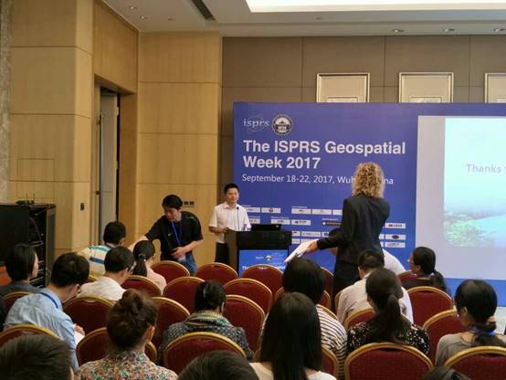
In Q&A, Dr. Jinghui Yang has deeply discussed some issues with
audiences.
Background of pansharpening
In general, the
panchromatic and multispectral images covering the same area are acquired by
satellite. Using pansharpening technology, the
structural and textural details of the lower resolution multispectral image are
enhanced by adopting the higher resolution panchromatic image, thus a higher
resolution image with spectral contents is generated. Pansharpening
is an important step in the processing workflow of satellite imagery, which is
extensively applied to visual interpretation, automatic classification,
information extraction, feature enhancement, display of 3D scene, generation of
ortho-rectified image, change detection, and image
based mapping.
You can also
find the introduction of the keynote speech in the official website of the
conference: http://gsw2017.3snews.net/index.php?m=content&c=index&a=show&catid=45&id=93
More
information, please access our website: www.VisionOnSky.com